Year 5 - Maps
In Year 5 we have been looking at maps as part of our Geography and topic learning this half term.
We looked at the common features of Ordinance Survey maps including why symbols are used and how to use a key. We also enjoyed learning how to read a four figure grid reference.
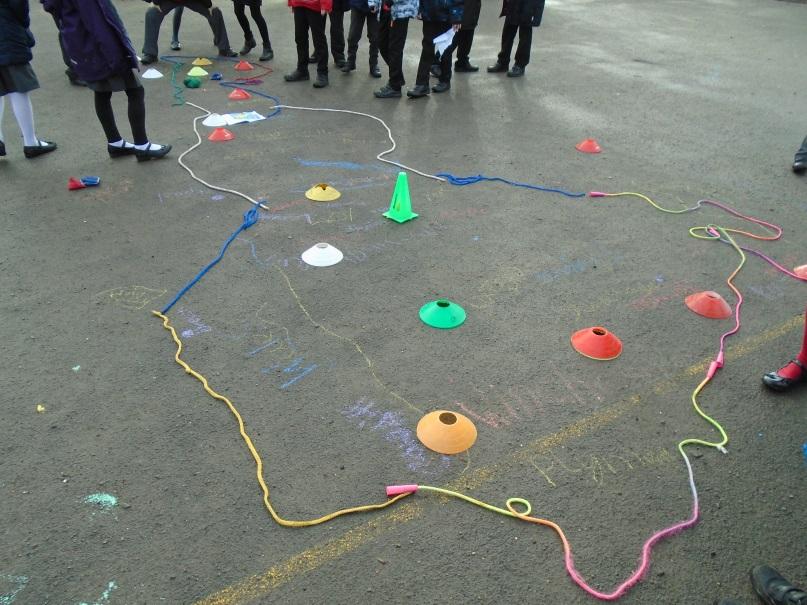
As part of our programme of Outdoor Learning we went outside to create our own maps of Great Britain using outdoor equipment to show features and symbols. We even thought of a creative way to show the Isle of Wight- can you find it?


No comments:
Post a Comment